
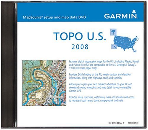
Technical Details
- Usgs Topographical Data At 1:100.000 Scale
- Terrain contours, topographic elevations
- Summit locations with elevation
- Trails and rural roads; city neighborhood roads
- Coastline, lake and river shoreline; wetlands; perennial and seasonal streams
View product details at Amazon